
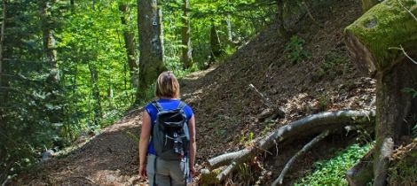
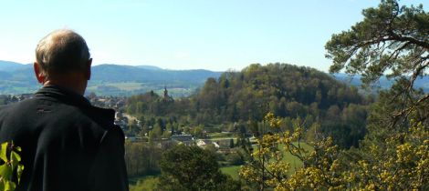
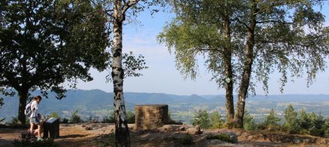
...Randonnez dans les Vosges
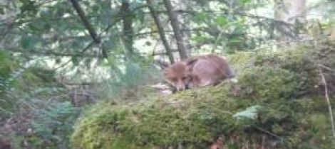
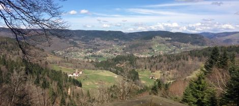
Dans les Vosges, ce sont plus de 4 000 kilomètres de sentiers balisés et entretenus qui n'attendent que vos chaussures de marche pour la randonnée. A travers vallons, crêtes et forêts, découvrez des paysages à couper le souffle.
Choisissez l'itinéraire qui vous plaît et partez à l'aventure seul(e) ou accompagné(e).
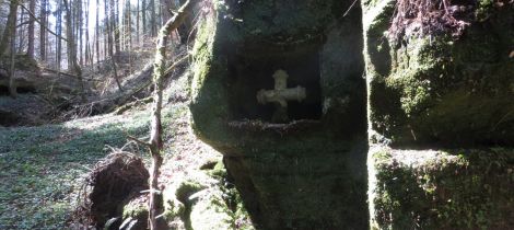
SENTIER DES FEES
Facile
10 km
02h30
CIRCUIT JEAN BOLOT (N°28)
Moyen
238 m
12 km
03h00
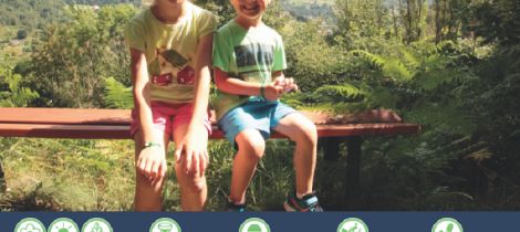
BALADE FAMILLE - À LA DÉCOUVERTE DES NEUFS-BOIS ET DE SES ÉTANGS
Facile
275 m
6 km
02h00
LE VALLON SAINT MARTIN
Facile
5,5 km
01h30
CIRCUIT COTEAUX DE ST LAURENT
Facile
164 m
6,7 km
02h30
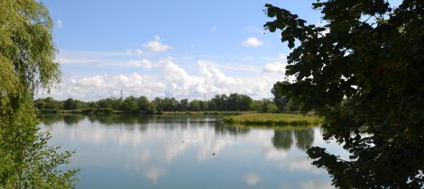
L'ETANG NOIR
Moyen
336 m
11 km
03h15
CIRCUIT DE LA HAUTE PIERRE (N°1)
Moyen
280 m
9,5 km
2h30
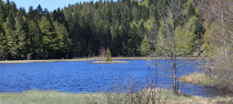
CIRCUIT ETANG LALLEMAND
Facile
149 m
9 km
03h00
RANDONNÉE LE DRUMONT PAR LE SENTIER DES RUSSIERS
Moyen
574 m
10 km
04h00
N°10 - LE TOUR DE BRUYERES
Facile
245 m
9,45 km
03h00
RANDONNEE PEDESTRE - MASSIF DE LA BURE - B1
Facile
240 m
6 km
02h15
SENTIER DES LUTHIERS ET DENTELLIÈRES
Facile
125 m
15 km
04h30
LES SOLITAIRES DE BONNEVAL
Facile
6,5 km
01h30

CIRCUIT TOUR DU LAC DE BOUZEY
Facile
108 m
7 km
02h00
CIRCUIT LE SENTIER DES AMOUREUX
Facile
99 m
4 km
01h30
SENTIER DE NEUFCHÂTEAU
Facile
115 m
7 km
02h00
SENTIER DE LA SERMONE
Moyen
265 m
8 km
03h00
SENTIER DES HUGUENOTS
Facile
10 km
03h15
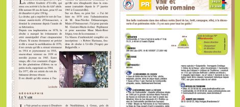
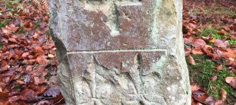
CIRCUIT PEDESTRE 22 VAIR ET VOIE ROMAINE - 10.4 KM
Moyen
185 m
10,4 km
03h20
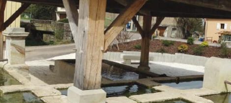
LES FONTAINES LAVOIRS
Facile
70 m
9,5 km
03h00
N°18 - LE HAUT DU BOIS
Moyen
450 m
14,7 km
04h00
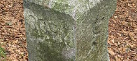
CIRCUIT LE SENTIER DES BORNES
Moyen
250 m
8 km
2h00
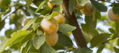
CIRCUIT DES MIRABELLIERS
Facile
7,5 km
02h00
LE SENTIER PÉDAGOGIQUE DU LAC DE LISPACH ET DE LA TÉNINE À LA BRESSE
Facile
4,5 km
01h30
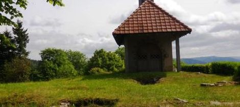
RANDONNEE : CIRCUIT DU SAINT MONT
200 m
3,5 km
01h30
BALADE FAMILLE - LE SENTIER DES CHÈVRES
Facile
193 m
6 km
02h00
CIRCUIT PEDESTRE 10 LE PARC THERMAL - 6.2 KM
Facile
80 m
6 km
01h30

CIRCUIT PEDESTRE 02 ENTRE 2 LACS - 11.2 KM
Moyen
230 m
11,2 km
03h25
CIRCUIT ENTRE VIGNES ET CLOCHERS
Moyen
247 m
16 km
05h15